
Insight No.34 |
Why doesn’t the Tube map match real distances?
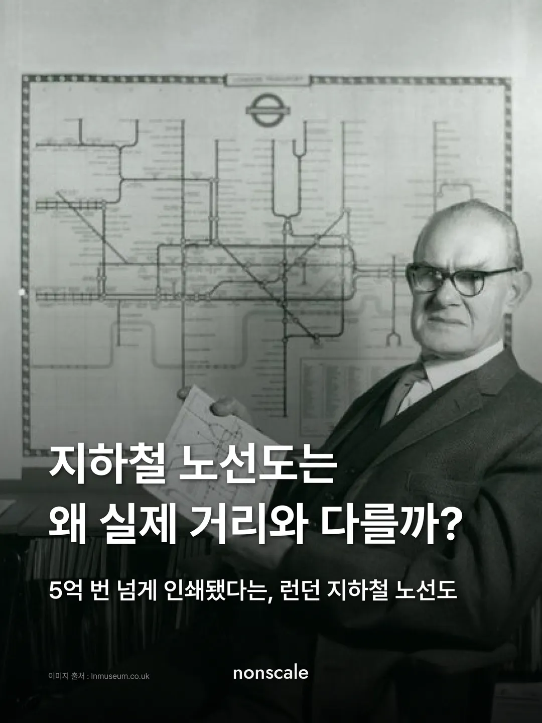
The London Underground map, said to have been printed more than 500 million times
what a tube passenger wants to knowis not where they are above groundbut at which stop they get on and off.that is why the map has no distance.
The man who redrew the London Tube map was a draughtsman who had lost his job 🚇London Transport Museum @ltmuseum
London’s stations can be as little as 300 m apart, or more than 6 km. The 1908 map drew the coloured lines over a simplified street map. Shrunk to the shape of the land, the centre, where stations cluster, became crowded. Later maps tried enlarging the centre, but still followed the shape of the land. The more accurate the map, the harder it was to read.
In 1931, Harry Beck, a draughtsman for the Underground, lost his job. While out of work, he redrew the map. He drew lines only horizontally, vertically and at 45 degrees, and spaced stations evenly regardless of distance. He drew the order of stations instead of distance.
The company handed the map back, calling it too revolutionary. The next year Beck enlarged the station names, refined the symbols and submitted it again. In January 1933, a map usually printed in runs of 10,000 to 20,000 was printed 750,000 times, and passengers welcomed the new map at once.
The metros of Sydney and St Petersburg borrowed the approach. London kept Beck’s rules while adding new lines, and since 2001 the map has carried the sentence “This diagram is an evolution of the original design conceived in 1931 by Harry Beck.”
Worth adding: the figure of “more than 500 million prints” is not an official count but an estimate by the writer Simon Garfield.
What a Tube passenger wants to know is not where they are above ground but at which stop they get on and off.
That is why the map has no distance.
essence
what a tube passenger wants to knowis not where they are above groundbut at which stop they get on and off.that is why the map has no distance.
what's your nonscale?
Harry Beck’s map spaced stations evenly regardless of distance. On the Tube, do you watch the distance left, or count the stops? 🚇
#런던지하철 #지하철노선도 #해리벡 · Where it happened: London Transport Museum
10 references · photo credits
- London Transport Museum, Transforming the Tube map: Harry Beck’s iconic design
- London Transport Museum, Mapping London: the iconic Tube map
- London Transport Museum Collection, Presentation drawing for diagrammatic Underground map, Henry C Beck, 1931 (1993/100)
- London Transport Museum Collection, Pocket Underground map, Henry C Beck, January 1933 (1999/321)
- Transport for London, Tube map (tfl.gov.uk/maps/track/tube)
- Transport for London, London Underground facts and figures
- Transport for London, Kruger becomes latest artist to design cover of the iconic Tube map, 2010
- Transport for London, New pocket Tube map by London-based Argentinian Pablo Bronstein, 2015
- 서울시 미디어허브, 보기 쉬워졌네! 지하철 노선도, 40년 만에 확 바뀐다, 2023
- 사이먼 가필드, 『지도 위의 인문학』, 김명남 옮김, 다산초당, 2015
Photo credits · 01·02·03·04·06·09 ltmuseum.co.uk · 05 tfl.gov.uk · 07·08 Unsplash